
2017, Matamedia: Track forest invasion using satellite images

The Story
Phitakpri means “conserve the forest” in Thai. This project was established by the Royal Forest Department (RFD), Geo-Informatics and Space Technology Development Agency (GISTDA). This project aimed to preserve the Thai forest by using comparisons between satellite imagery captured over a period of years. There are three services in this project.
Back office website
The website is used by GISDA officers. This is where the map’s polygons generated by programs are received to create points of interest (POI).
Front-side website
POIs from the back office are received for RFD officers to evaluate and assign fieldwork.
Applications
A pocket version of the front-side website but designed mainly for RFD officers assigned to fieldwork.
Goals and challenges
Including the aforementioned services, RFD wanted the application to be visually appealing and accessible. This service is especially unique and contains a plethora of technical details. Therefore, digesting information efficiently and effectively was the key.
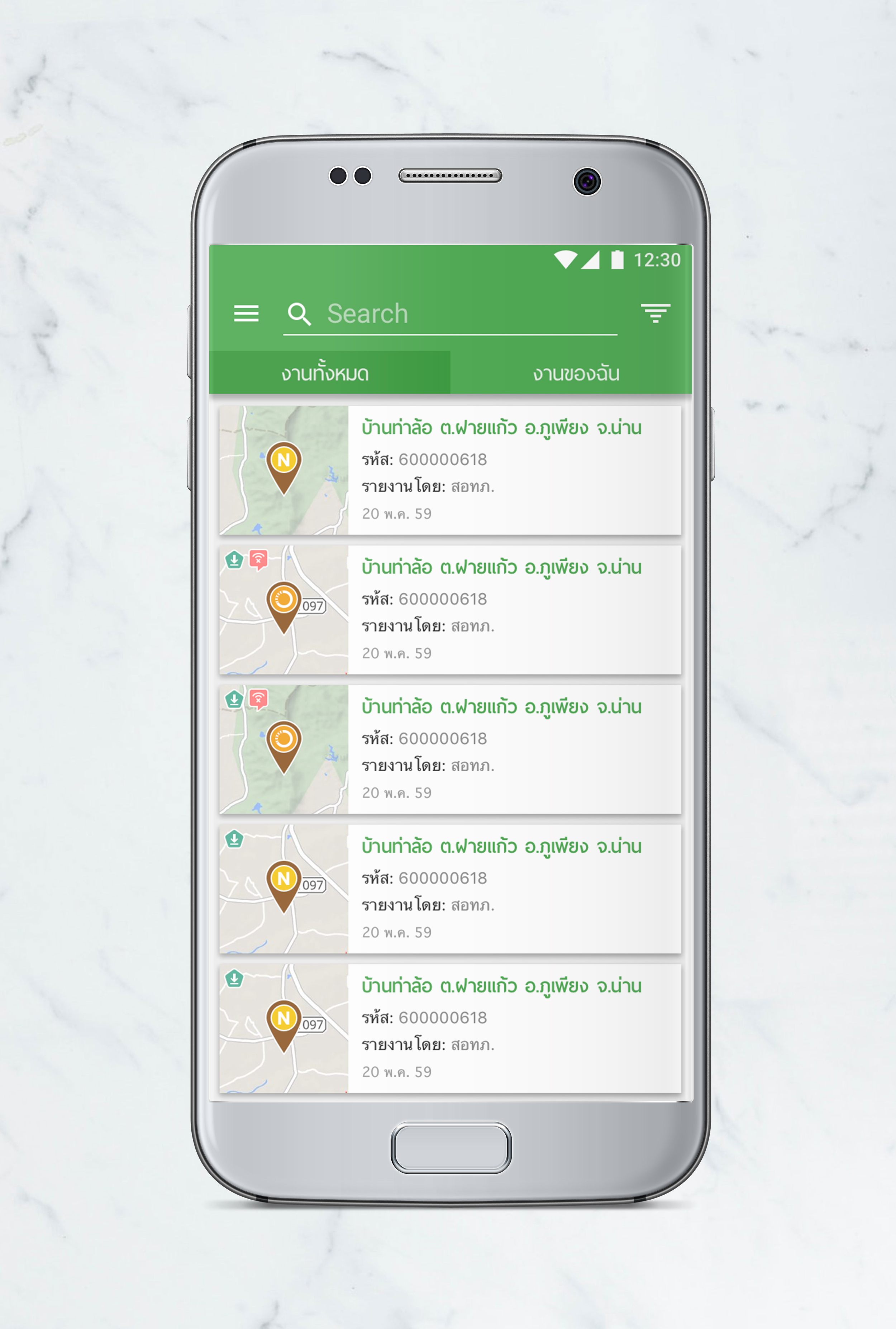
Mobile version - List view
Process
In order to succeed in this project, we used our specialty in map services and communication. We discussed back and forth with the officers from both RFD and GISDA to maximize our understanding on their workflow before we started developing our first design.

Mobile version - Map view
Platforms
Website
Android
iOS
Tools
Sketch
Invision
Adobe Illustrator
Adobe Photoshop